
 The Chesapeake Bay Critical Area Program was established by the Maryland General Assembly in 1984 because of a growing concern about the decline of water quality and the natural resources of the Chesapeake Bay. Because land use immediately surrounding the Chesapeake Bay and its tributaries has the greatest potential to affect water quality and habitat, the General Assembly designated a geographical area around the Chesapeake Bay's tidal waters and tributaries as a "Critical Area."
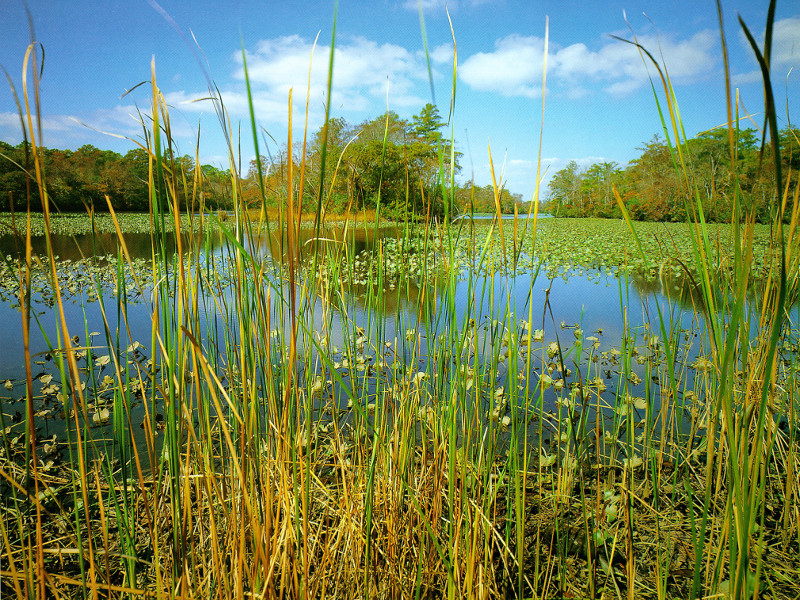
The Worcester County Chesapeake Bay Critical Area begins 1,000 feet beyond the head of the tide at Whiton Crossing, and includes about 10,000 acres of the County that lie within the Pocomoke River watershed.
The Worcester County Cheapeake Bay Critical Area Program, adopted in 1990, accomodates future growth within the Critical Area, while providing for conservation of fish, wildlife and plant habitats, and minimizing adverse water quality impacts. Among other requirements, the law generally requires a minimum 100-foot buffer of naturally occuring or planted vegetation, measured from the mean high water line of tidal waters, tidal wetlands and tributary streams with any new development within the Critical Area. (Where active agriculture exists, a minimum 25-foot vegetated filter strip may be required.)
The Program places all lands in the Critical Area into one of three land use categories, which are:
- Intensely Developed Areas. Residential and other development predominates to the virtual exclusion of natural habitat.
- Limited Development Areas. Low or moderately dense development co-exists with natural plant and animal habitats.
- Resource Conservation Areas. Natural resource areas (habitats, wetlands, forest) and resource-oriented activities (farming, fishing) predominate.
In order to accomodate growth, five percent of the total Resource Conservation Area may be converted to a Limited Development Area or an Intensely Developed Area. This process is called Growth Allocation.
The official maps delineating the Worcester County Chesapeake Bay Critical Area and exhibiting the land use classifications assigned, are publicly available here.
Contact Information
Joy Birch: (410) 632-1220, ext. 1161